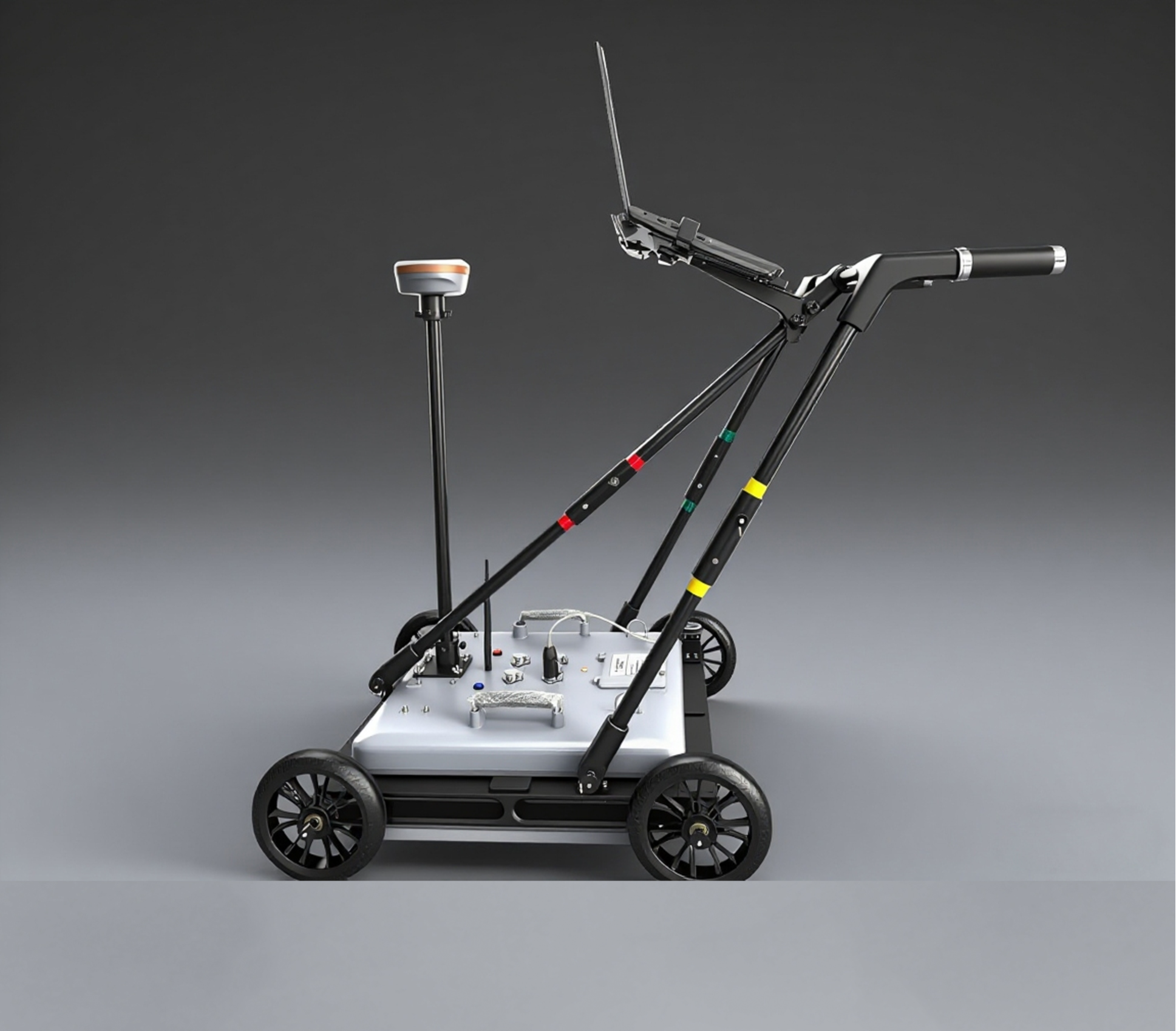

Multi-Frequency 3D Ground-Penetrating Radar SL-MGPR
Model:SL-MGPR
Product Features
Technical Specifications (Customizable)
| Antenna Type | 2-32 Channel Multi-Frequency Array Antenna |
| Operating Frequency | 50MHz, -2.0GHz |
| Scan Rate | 1~10240 scans/sec, optional |
| Detection Range | 0-50m (depending on antenna frequency and medium) |
| Resolution | ≤1 cm |
| Measurement Method | Point measurement, distance trigger measurement, continuous measurement, automatic cruise |
| Display mode | Pseudocolor, Stacked Waveforms, Grayscale, Single-Channel Waveform Display, 3D Display |
| Location Method | Supports GNSS, TPS, and measuring wheels; enables frame-synchronized data from mainstream GPS/RTK brands. |
| Power & Battery Life | Built-in battery: ≥8 hours |
| Operating Temperature | -30℃ ~ +70℃ |
Application Scenarios
Engineering Geological Survey: Detection of subsurface geological hazards such as piping in river embankments and dam foundations, karst features, sinkholes, underground voids, fractured zones, ant nests, ice layer thickness, and coal mine goaf areas.
Building Quality Inspection: Detect wall cracks, voids, and rebar distribution; evaluate foundation treatment effectiveness.
Underground Utility and Obstacle Detection: Mapping underground utility networks, detecting civil air defense structures, and identifying obstacles during piling operations.
Archaeology Applications: Use ground-penetrating radar to detect ancient tombs, city walls, roads, and other archaeological sites.
Forensic Investigation: Rapidly locate buried evidence such as human remains, firearms, knives, and drugs.
Road and Bridge Inspection: Survey of Adverse Geological Bodies, Quality Control During Highway Construction, Thickness Testing, Crack Detection, and Subgrade Disease Assessment
Tunnel Inspection: Quality inspection of tunnel engineering works, including primary lining and support thickness, secondary lining thickness, rebar distribution, grouting density, defects, and invert quality.
Typical Use Cases
Cultural Relic Archaeological Exploration
Non-destructive detection of underground heritage distribution, 3D imaging for archaeological excavation planning
Urban Void Detection
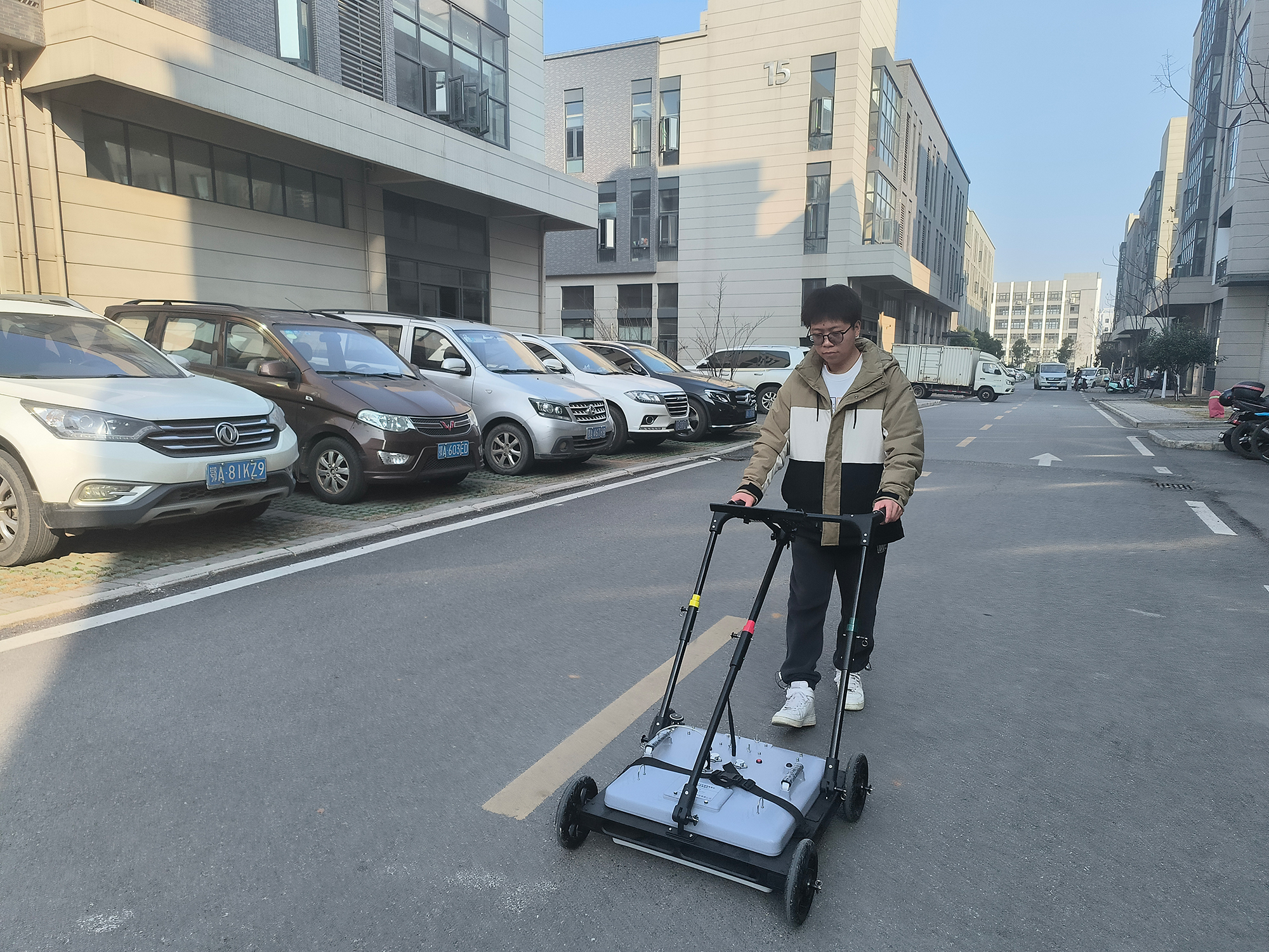
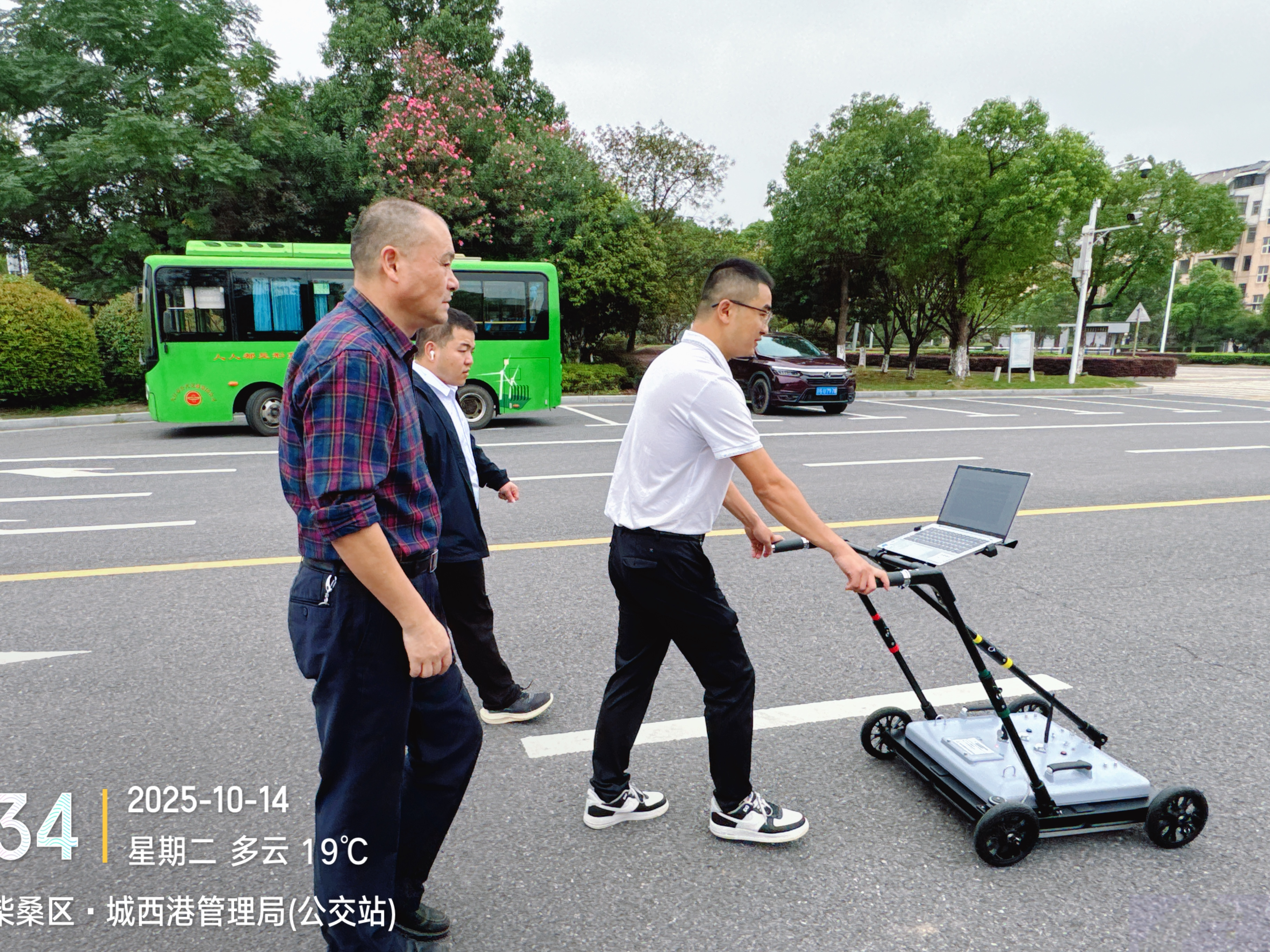
Quickly identify road subsurface hazards such as voids and loose soil.
Geological Structure Survey
Accurately model multi-layered geological structures to support engineering design.
Need a detailed technical proposal?
Contact a technical consultant to get detailed product information and customized solutions.
Get a Quote